Steer Every Well with Precision Intelligence
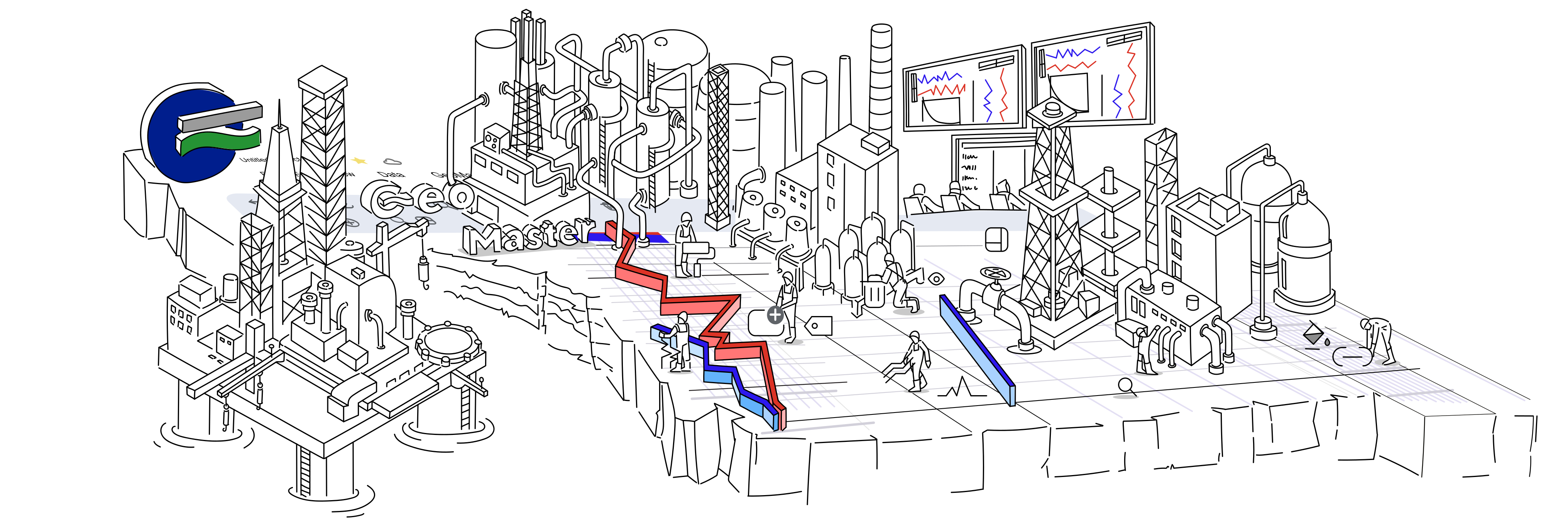
GeoMaster is the cloud-native geosteering platform built for modern drilling teams. Real-time WITSML data, AI-powered decision support, and seamless collaboration — from a browser, anywhere.
✓ No credit card required✓ 14-day free trial✓ Cancel anytime
Platform Features
Everything Your Team Needs to Drill Smarter
From real-time data streaming to AI-assisted decisions, GeoMaster brings the full geosteering toolkit into one cloud-native platform.
Real-Time WITSML Integration
Stream live drilling data from any WITSML 1.4.1.1/2.0 server directly into GeoMaster — zero lag, full fidelity, from any rig.
AI-Powered GeoEngine
GeoEngine analyses subsurface data in real time, flags anomalies, and suggests trajectory corrections before they become costly deviations.
Model-Based Geosteering
Build and update geological models on the fly. Keep your well within the target formation using live petrophysical and seismic data.
Strat-Based Geosteering
Use stratigraphic markers and correlation to steer confidently in heterogeneous formations — no structural model required.
LookAhead Prediction
AI-powered ahead-of-bit prediction gives your team advance warning of formation changes, helping you plan trajectory updates proactively.
Multi-User Collaboration
Geoscientists, directional drillers, and engineers work together in a shared live workspace — from the rig, the office, or anywhere.
Introducing GeoEngine™
Your AI Co-Pilot for Subsurface Decision-Making
GeoEngine is an AI inference layer trained on subsurface geology and drilling operations data. It monitors your well in real time and surfaces intelligent guidance — before problems arise.
- ✓Real-time anomaly detection and early warning system
- ✓Trajectory optimisation suggestions based on live LWD data
- ✓Natural language Q&A over your well data
How It Works
From Data to Decision in Minutes
GeoMaster removes the complexity from geosteering. Connect your data, visualise your well, and steer with confidence.
Connect
Link your WITSML server or upload LAS files. GeoMaster ingests real-time drilling data from any standard source within minutes — no IT project required.
Visualise
Your well trajectory, formation tops, and LWD curves render instantly in GeoMaster's interactive 2D/3D workspace. See your well exactly as it is, right now.
Steer
GeoEngine AI flags formation boundaries ahead of bit and suggests trajectory adjustments. Your team makes informed decisions faster — and stays in zone longer.
“GeoMaster gave our small team the capabilities of a much larger operation. The AI suggestions alone saved us from two costly sidetracks in our last campaign.”
Alex M.
Senior Geosteering Engineer

Stay Updated
Product Updates & Geosteering Insights
Join 500+ drilling professionals receiving monthly updates on new GeoMaster features, geosteering techniques, and industry insights. No spam — unsubscribe anytime.
✓ No spam · ✓ Unsubscribe anytime · ✓ GDPR compliant
Ready to Master Every Well?
Join drilling teams already using GeoMaster to stay in zone, make faster decisions, and reduce NPT.